Electronic Charts
-
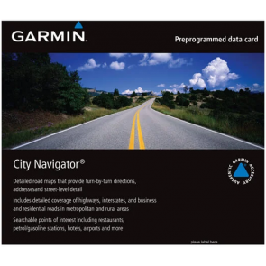
Garmin - City Navigator® Europe NTU
Learn MoreNavigate the streets of Europe with confidence. This product provides detailed road maps and points of interest for your compatible device, so you can navigate with exact, turn-by-turn directions to any address or intersection. Route to restaurants, gas stations, lodging, attractions and more.
€109.00 -

GARMIN - BlueChart G2 Vision Maps
Plug an optional BlueChart g2 Vision SD card into your new Garmin chartplotter and tremendously expand its capabilities. By adding a BlueChart® g2 Vision card to your compatible chartplotter, you'll have access to premium mapping features such as true 3D-view detailed mapping capabilities (both above and below the waterline), plus helpful Auto Guidance, high-resolution imagery, and “real picture” aerial photos of ports, harbors, marinas, waterways, navigation landmarks and other points of interest. Learn More€179.00 -
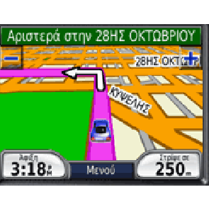
Garmin - AUTO DRIVE HELLAS
Full compatible with Garmin GPS Learn More€80.00 -
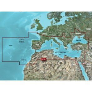
GARMIN - BlueChart G3 Vision VEU723L - Southern Europe
Detailed offshore coastal coverage of the Mediterranean Sea and the Iberian Peninsula in their entireties. Coverage features the Strait of Gibraltar, the Balearic Islands, the French Riviera, Corsica, Sardinia, Sicily, the Adriatic Sea, the Greek Islands, the Aegean Sea, the Dardanelles and Bosporus Straits, the Sea of Marmara, Cyprus, the Suez Canal, Tripoli and Algiers Harbors, and the Gulfs of Gabès and Tunisia. Also details the Atlantic side of the Iberian Peninsula from the Canary Islands to the Bay of Biscay including the Gulf of Cadiz, the Portugal coast in full, the Gulf of Gascogne, and the Madeira and Azores Islands. Learn More€429.00 -
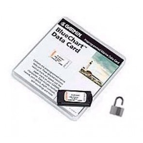
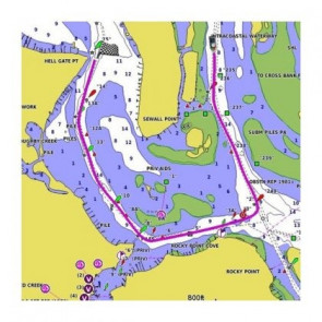
GARMIN - BlueChart Charts
Nautical charts covering all of the Greek seas. Learn More€253.00 -

Navionics - Platinum plus
The features you will find with the Platinum plus chips include high resolution satellite imagery and aerial photos and new 3D Bathymetric Depth contours. The resolution of the aerial photos is 4 times that of Platinum .Platinum plus is available on 8GB SD cards. Learn More€259.90 -
GARMIN - BlueChart G3 Vision Maps
Plug an optional BlueChart g3 Vision SD card into your new Garmin chartplotter and tremendously expand its capabilities. By adding a BlueChart® g3 Vision card to your compatible chartplotter, you'll have access to premium mapping features such as true 3D-view detailed mapping capabilities (both above and below the waterline), plus helpful Auto Guidance, high-resolution imagery, and “real picture” aerial photos of ports, harbors, marinas, waterways, navigation landmarks and other points of interest. Learn More€289.00 -

C-MAP - Reveal Greece
C-MAP - Reveal Greece M-EM-Y111-MS Learn More€248.00 -
 €167.40
 -
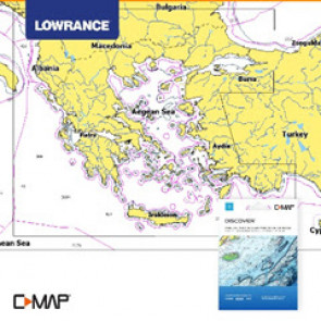
C-MAP - DISCOVER Greece
C-MAP - DISCOVER Greece M-EM-Y204MS Learn More€163.00


